I’m out on a little tour today and I’m testing out some Geotagging and Google map software. UsingRoboGeoo, a Samsung Q1, a Nokia 6820, a Canon S2IS, and a Garmin Etrex GPS tracker I’ve been able to cycle round Bonn taking pictures and tracking my journey. I’m now sitting in a Biergarten (as you do) and I’ve just downloaded the track, the images and using RoboGeo, have created a Google Maps mashup of the event with embedded photos. Its something I plan to use on the Solar ultra mobile PC tour.
Later I’ll edit up the video and post it along with a better explanation of the process. In the meantime, enjoy the map.


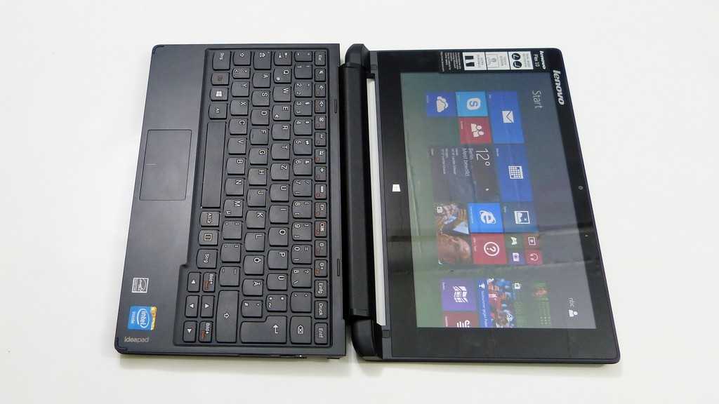
Everything is possible! ultra mobile PC Geotagging images on maps from a Biergarten.
Now its time for me to finish my beer and head back up the hill. More photos, tracking and tagging on the way.


